

How repeatable survey data helps measure rehabilitation performance over time.
Once rehabilitation earthworks are complete, the key question becomes: how is the landform performing over time? Remote sensing data is increasingly used to answer this, but only when survey deliverables are fit-for-purpose.
Mine Earth delivers practical survey programs that capture high-resolution UAV LiDAR, orthomosaic and multispectral data for rehabilitated mining landforms, supporting erosion assessments, vegetation reviews and rehabilitation reporting.
What We Deliver
Our clients need repeatable monitoring that provides objective, defensible rehabilitation evidence and a consistent baseline over time. Our services include:
- Georeferenced UAV LiDAR, orthomosaic and multispectral data capture across rehabilitation areas
- Survey and ground control so future campaigns are efficient and directly comparable
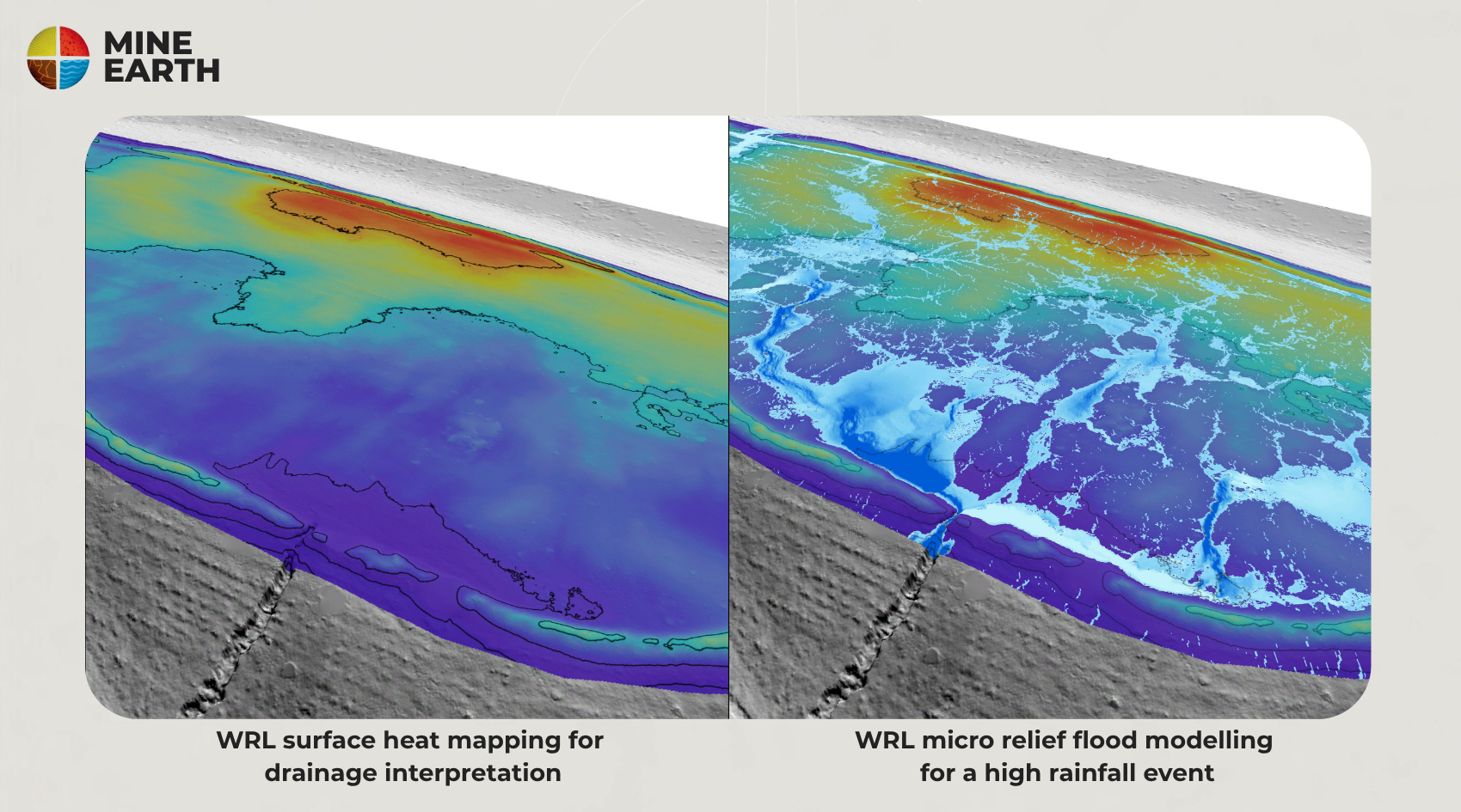
- Erosion analysis, surface condition reviews and vegetation health assessments
- Clear geospatial outputs for reporting, delivered with a short turnaround
Our Approach
Our survey methodology is built on three elements:
- Reliable survey control: accurate ground control ensures spatial integrity and dependable year-on-year comparison
- Fit-for-purpose UAV capture: the right drone and sensor configuration for the topographic and spectral data required
- Analysis-ready deliverables: a streamlined workflow from raw field data to high-value geospatial outputs
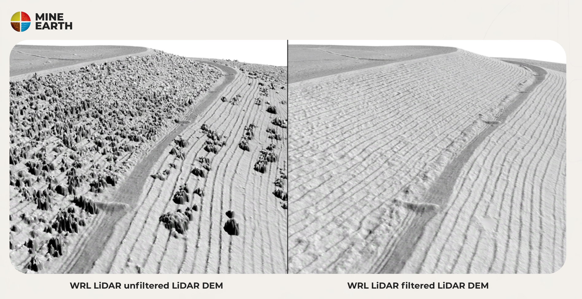
Combining sensors is particularly valuable where vegetation obscures the ground. LiDAR-derived terrain models reveal erosion features, drainage pathways and landform condition beneath vegetation, while high-resolution imagery and multispectral data support vegetation assessment.
The Outcome
The result is a consistent, defensible spatial record of rehabilitated landforms. With accurate survey control in place, each new campaign can be compared confidently against previous surveys, revealing long-term trends in erosion, vegetation establishment and landform stability, and improving the consistency of regulatory reporting.
Closing Thoughts
Effective rehabilitation monitoring takes more than periodic inspections. Reliable survey data provides the evidence needed to evaluate landform performance, act early on emerging issues and demonstrate progress towards agreed completion criteria.
By combining accurate field capture, advanced geospatial analysis and practical reporting, Mine Earth helps clients turn data into defensible rehabilitation outcomes.
Need support confidence in your rehabilitation monitoring data?
Mine Earth combines UAV LiDAR, high-resolution imagery and multispectral data with practical geospatial analysis to help clients measure landform performance and build defensible rehabilitation evidence.
Related Articles

